

MAP DESCRIPTION
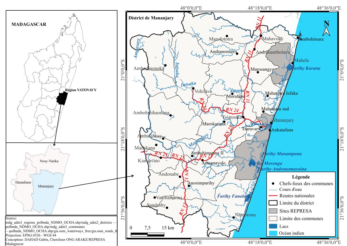
The map presents the district of Mananjary, one of the districts in the Vatovavy Region, located on the southeastern coast of Madagascar. An inset map on the left helps to locate the Vatovavy Region at the national level.
| Climatology | |
|---|---|
| Climate type | Humid tropical (Af) |
| Rainfall | 2,000 to 3,500 mm/year |
| Temperature | Average of 24–27°C; low annual variation |
| Climate risks | Cyclones, floods, coastal erosion |
| Winds | Southeastern trade winds |
| Agriculture | |
|---|---|
| Category | Main Details |
| Food crops | Rice, cassava, maize, banana, vegetables |
| Cash crops | Lychee, vanilla, coffee, cinnamon, cloves |
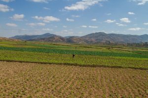
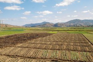
| Systems | Rain-fed, family-based, low mechanization |
| Constraints | Cyclones, floods, difficult market access |
| Opportunities | Export value chains, agroforestry, organic farming |
| Topography | ||
|---|---|---|
| Zone | Altitude | Key Characteristics |
| Coastal | 0–50 m | Flat, swampy, cyclone-prone |
| Alluvial | 20–100 m | Fertile valleys, agricultural, flood-prone |
| Hills / Plateaus | 100–400 m | Undulating, agricultural, erosion-prone |
| Mountainous | > 400–500 m | Rugged, forested, sparsely populated |

- The map is oriented north, indicated by an arrow at the top right.
- Geographical coordinates (latitude and longitude) are shown around the main map:
- Latitude: between 21°00’00’’S and 21°36’00’’S
- Longitude: between 48°00’00’’E and 48°36’00’’E
- The district is divided into communes (communal boundaries shown as black dotted lines).
- Each commune's administrative center is marked with a black dot (●).
- The solid black line outlines the boundary of the Mananjary district.
- Communes such as Mananjary, Ankatafana, Mahaela, etc., are labeled.
- Several national roads cross the district, shown in red:
- RN 11
- RN 12
- RN 24
- RN 25
- These roads ensure connectivity between communes and neighboring districts.
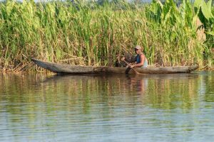
- Numerous rivers are shown in blue, such as:
- Mananjary
- Karana
- Itsaka
- Faraony
- The coastline borders the Indian Ocean to the east.
- Specific marine or coastal zones are identified under the name “Faritry”:
- Faritry Manampana
- Faritry Moronga
- Faritry Andranomavoina
- Faritry Fanaloka

