

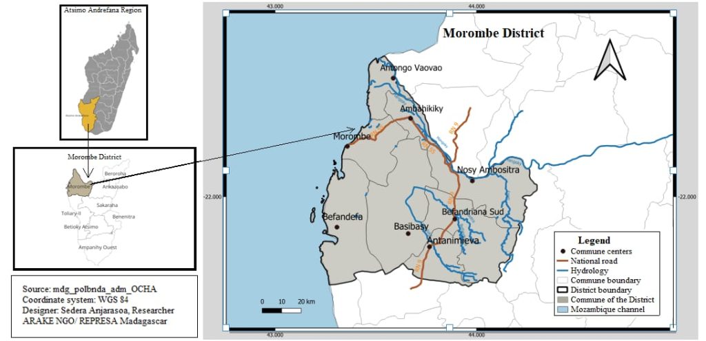
- Latitude : 21°41’38.06’’ S
- Longitude : 43°44’02.23’’ E
- Superficie : environ 7 109 km²
- La carte est orientée vers le nord, indiqué par une flèche en haut à droite.
- The district is subdivided into several communes.
- Each commune’s administrative center is marked by a black dot.
- The district boundary of Morombe is outlined with a solid black line.
- National and secondary roads connect the communes to neighboring districts.
- Infrastructure such as irrigation canals and port areas exist but are currently deteriorating.
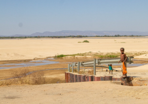
- The Mangoky River crosses the delta plain of the Lower Mangoky, forming the largest delta in the country (110,000 ha).
- The Mangoky watershed covers 55,884 km².
- High flows occur from December to March (30 to 100 l/s/km²), often leading to floods; low flows from June to November represent only 15% of the annual volume.
- Severe erosion and sedimentation are caused by degradation in the upper watershed (Zomandao, Ihosy).
- Climate type: Semi-humid and hot, with an edaphic dry season lasting 8 months.
- Rainfall: A 3-month rainy season (December to February), with annual precipitation below 750 mm.
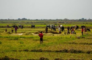
- The climate is favorable for double rice harvests.
- Risks include prolonged droughts, locust invasions, and bushfires.
| Zone | ||
|---|---|---|
| Zone | Altitude | Key Characteristics |
| Coastal | 0–50 m | Flat, swampy, and vulnerable to climate hazards |
| Alluvial | 20–100 m | Fertile valleys but prone to flooding |
| Lower Mangoky Plain | Low altitude | Declining agricultural zone, exposed to sedimentation and erosion |
| Agriculture | |
|---|---|
| Category | Key Details |
| Food Crops | Rice, cowpeas |
| Constraints | Soil degradation, poor infrastructure, sedimentation |
| Opportunities | High potential in the delta, if irrigation systems are restored |
| Environmental and Socio-Economic Issues | |
|---|---|
| Environment | Soil and vegetation cover degradation Sedimentation of rivers and canals Deforestation in the upper watershed |
| Economy | Decline in agricultural production Decrease in cultivated land Rising food insecurity |
- Decline in living standards
- Migration linked to poverty and extreme climate conditions